(Close new window when done.)
| |
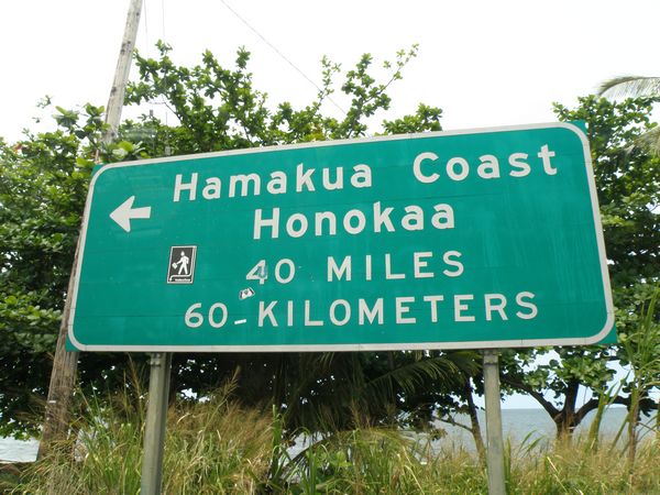
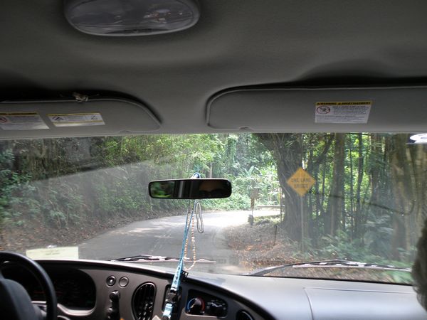
| This is to prove we were actually there, and did not copy pictures out of National Geographic. Fortunately, the botanical garden was not this far. | Does "One Lane Bridge" on a one lane road make sense? |
| |
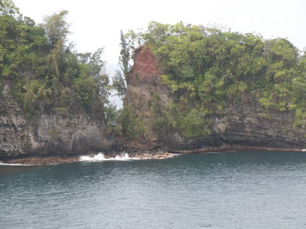
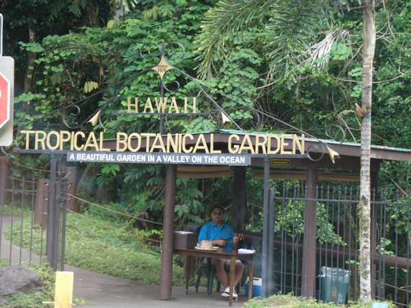
| This used to be a natural bridge across the gap, until it fell a few years ago. You can see where the rock filled in the water passage. | This guy was not here to take your tickets,. His job was to make sure you did not take the golf cart for a joy ride. |
| |
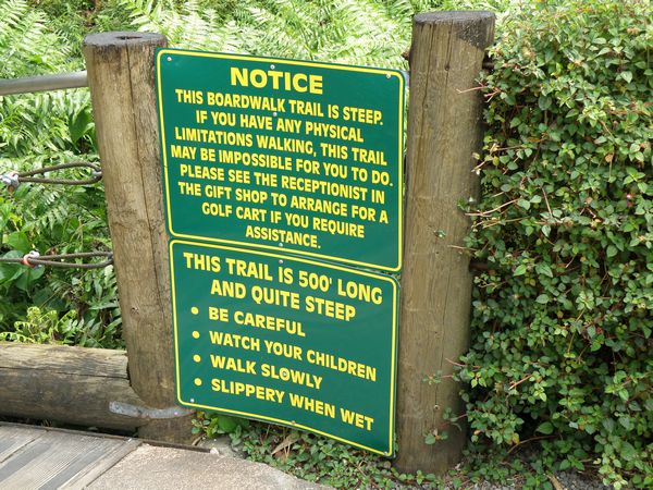
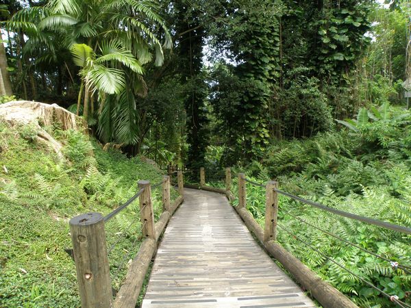
| They were not kidding. | Path to the Hawaii we were expecting to see everywhere. Many places were surprisingly dry and brown, but not here. Hilo gets over 10 FEET of rain per year. |
| |
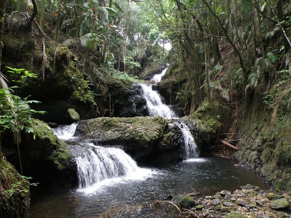
| I have to admit this could have been taken in the hills of Kentucky, but I cannot get enough of waterfalls. | These were taken out of the hills of Kentucky. |
| |
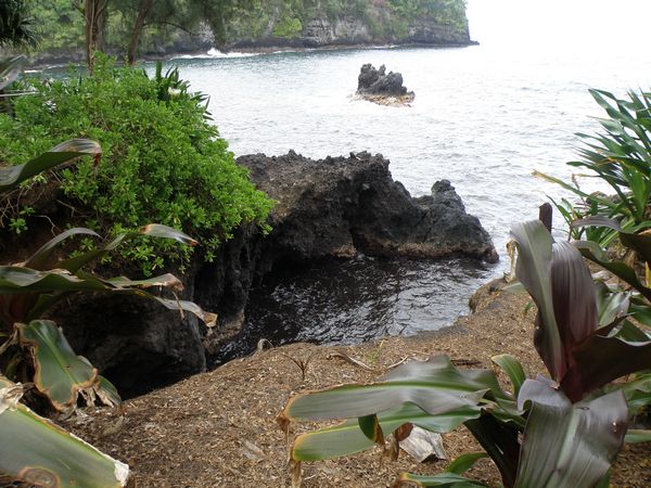
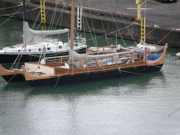
| Volcanos make beautifuls islands, but poor beaches. This is where Deb said she felt like she was finally in the real Hawaii. | I thought this was a neat version of a Hawaiian boat. When I got back, I learned it has history, is called the Hokulea, and belongs to the University Of Hawaii. It seems this boat sailed over 6000 miles to prove the Polynesian peoples could cross vast expanses of ocean using primitive navigation methods. See Cruising World, June 2008, page 20 for the story, or visit the Polynesian Voyaging Society online. |
| |
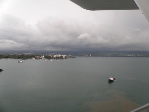
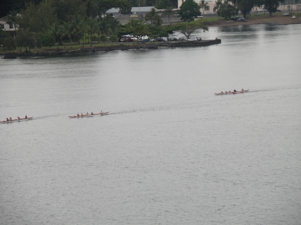
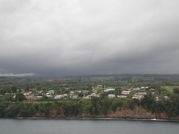
| These clouds over Hilo are from the volcano. | Long canoes racing across the bay. |
| |
| As we leave Hilo for Ensenada, Mexico, I get one last view of where the most active in Hawaii volcano is located. |